
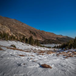
Hiked to Bear Peak in Boulder on May 25th, 2020. Bear Peak stands at 8,458ft and is the tallest peak in Boulder. From NCAR it’s around 6.2 miles with roughly 2,800ft of elevation gain. This makes Bear Peak a great mountain to climb for those that aren’t quite ready to tackle Colorado’s 14ers yet. One of the best hikes close to Denver.

Check out our Video of our Bear Peak Hike
Bear Peak via NCAR

Our Memorial Day celebration started at 5:30AM in Boulder to summit Bear Peak (8458’) via the NCAR trailhead. The parking lot is huge and it was easy to find a spot as there were only a few other vehicles there. This portion of Boulder Open Space is very popular and the parking lot does get crowded. We were able to pack light today due to mild weather and no snow on the trail.

There are several trails that branch off from the NCAR Trail so it’s important to have a map or a good sense of where you’re going. Our route was to take the NCAR Trail to the Mesa Trail to the Fern Canyon Trail which led up to the summit of Bear Peak.
The NCAR Trail travels through some rolling hills, past a water tower and over a creek. It had rained on Sunday and there was a piece of the trail where mud was sticking to the bottom of our shoes making them real heavy. The trail was otherwise dry.

The Mesa Trail in Boulder
The Mesa Trail is ideal for social distancing, wide sloping uphill the direction we were hiking. We did not spend considerable time on the Mesa Trail as the Fern Canyon trail branched off soon after. The Fern Canyon Trail was marginally different from Mesa Trail; it was rocky and was rainforest-like.

We had yet to experience much elevation gain but we encountered elevation immediately once on the Fern Canyon Trail. Hiking through the woods we passed one trail runner going up and two coming down but otherwise did not see anyone until the summit.
Fern Canyon Trail

Despite the considerable elevation, the trail was quite serene through the woods. A half mile below the summit of Bear Peak there is a trail that veers right for Nebel Horn (7579’) but this was closed for raptor nesting. We continued left.

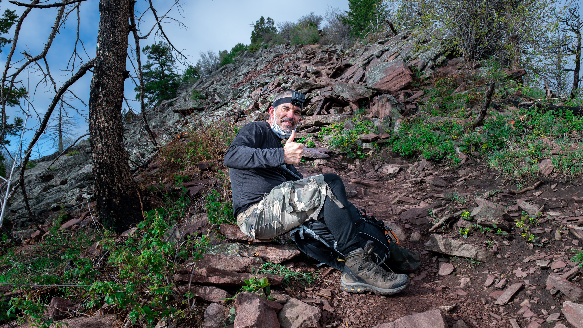
The last half mile to the summit is rocky but otherwise easy to follow. The summit of Bear Peak is a bit jagged and we needed to use our hands to reach the top. We shared the summit with five other people total.
The camera and GoPro made appearances to capture the scenery; typically Rocky Mountains can be seen in the distance but there was some cloud cover this morning. Downtown Boulder is also visible from atop Bear Peak, as well as surrounding Boulder landmarks Green Mountain, Flagstaff Mountain and South Boulder Peak. There is a short trail that leads over to South Boulder Peak but we decided to forgo this trip.

 Bear Peak is an Extremely Popular Trail

Wild flowers were in full bloom along the trail and the Guardians of the Flatirons made an excellent backdrop. On our return trip the trail was starting to get more foot traffic; we must have passed at least 15 groups on the Fern Canyon Trail alone and there were more hikers on other trails in the park. We returned to the trailhead after 4 hours of hiking. Our distance traveled amounted to 6.5 miles with 2,808 feet of elevation gain.

The hike up to Bear Peak boasts some serious elevation gain despite its proximity to Boulder and it certainly was a good workout for us. This trail is good for a number of activities and dogs are welcome on trails.
Leave a Reply
You must be logged in to post a comment.