
Hiked to Keplinger Lake (11,686 ft) from Sandbeach Lake trailhead (8,345 ft) in the Wild Basin of Rocky Mountain National Park. Two scenic stops at Sandbeach Lake (10,283 ft) and the summit of Mount Orton (11,724 ft).
Hiking to Keplinger Lake in the fall

It’s been a sorrowful few weeks as the East Troublesome Fire and the Cameron Peak Fire tore through portions of Rocky Mountain National Park, resulting in evacuations and destruction of our beloved homes and surrounding wildlife. Our thoughts and prayers are with all personnel affected by the fires, and we tip our hats to combined efforts to bring the flames under control. Today was a bittersweet return to the Wild Basin corner of Rocky Mountain National Park; our first stab at Sandbeach Lake, Mount Orton and Keplinger Lake.
Sandbeach Lake Trailhead in the Wild Basin
My (brand spanking new! Subaru Crosstrek!!!) was the only vehicle parked at Sandbeach Lake Trailhead at 5:30AM on Saturday 11/07, the second day of the park’s reopening. A full list of closures can be found on Rocky Mountain National Park’s website. Sunrise was slated for 6:30AM this morning, and we quickly began our hike to lessen the distance to Sandbeach Lake, a 4.2 one-way trip. Moderate elevation gain defines the first leg of the hike; with the sun shining it’s possible to peep through the trees and gaze across the park, in the dark the trail is rather bland. A rosy red horizon painted the sky, and we switched off our headlamps 2.5 miles in, at the small footbridge spanning Campers Creek.
Sandbeach Lake Trail continues for another mile before intersecting with Hunters Creek and a popular campsite. There were a few fallen trees crossing Sandbeach Trail, but a short detour around posed no problems.
Arriving at Sandbeach Lake

As usual, we encountered no other trail users en route to the lake, and in less than two hours we made footprints along the sandy shores. Sandbeach Lake (10,283 ft) showcases an excellent view of Copeland Mountain and Mt Orton to the south, as well as a northern view of Keyboard of the Winds, Mount Meeker and Longs Peak.

The unique shape prevented us from viewing the full capacity of Sandbeach Lake as we skirted the north bank towards Mount Orton. While the surface was by no means walk-able, ice covered the brunt of Sandbeach Lake and tapered just off-shore. As Dave settled in to snap some scenic landscape photos, a pair of curious Grey Jays flew in to investigate. The sun warmed us, and there was little wind to speak of thus far.

Hiking to Mount Orton via north ridge
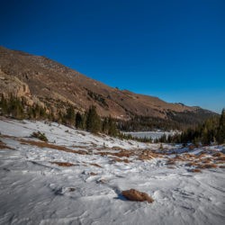
A network of paths criss-cross once we deviated from Sandbeach Lake and suddenly we were tramping through snow. There are two routes to Keplinger Lake, one that parallels Hunters Creek, and another that gains the north ridge of Mount Orton before dropping down into Hunters Creek Valley. We opted for the Mount Orton access on our ascent. The blanket of snow proved to be the most difficult portion of the ascent of Mount Orton, but soon after gaining the tree line, snow became a non-issue.

Snippets of Sandbeach Lake can be viewed from above, but the show stopper of this hike was the inspiring views of Mount Meeker, Longs Peak and Pagoda Mountain to the north. Despite our various trips to Wild Basin, we had not yet had the pleasure of this prolonged south-side view of these prominent mountains. As we gained elevation on Mount Orton, the landscape grew more beautiful with each step.
Summit of Mount Orton

A faint path to the summit of Mount Orton (11,724 ft) is marked with dispersed cairns until a final boulder hop. Mount Orton has a peculiar double summit but the hump to the right is the true high point, indicated as such with a ledger in an empty peanut butter jar.

A six mile hike and 3,400 feet of elevation gain stand between trailhead and summit, but the views of surrounding lakes below, as well as an exaggerated view of Chiefs Head Peak are well worth the trip. Mount Meeker, Longs Peak, and Pagoda Mountain round out the panoramic scenery.
Descending Mount Orton into Hunters Creek Valley
From the summit of Mount Orton, the cirque in which Keplinger Lake resides can be pinpointed, but the lake is hidden; the fun part of our hike was about to begin. Our descent into Hunters Creek Valley was punctuated by deep tracts of snow. We scanned the terrain often to find a suitable place to descend.

Two unnamed ponds shimmered in the sunlight as we hiked down to the pond on the left. From Mount Orton, this is a 0.7 mile trek with an elevation loss of 400 feet.

Once we attained the unnamed pond, we took an abbreviated break before navigating the south bank angling up toward Keplinger Lake. A half mile of boulder hopping later, and we were on the shores of Keplinger Lake (11,686 ft).
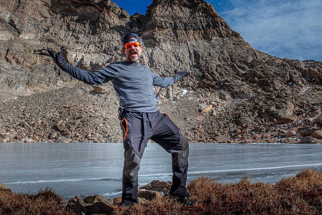
Arriving at Keplinger Lake

This high alpine lake tucked into a horseshoe cirque is dwarfed by Pagoda Mountain, and today a Colorado Bluebird Sky complemented the peak. As with Sandbeach Lake, a thick layer of ice coated Keplinger, but it could not yet sustain our weight. We didn’t actually test it though as it felt unsafe.

There wasn’t much wind and the temperature was probably in the mid 40’s. There was not a soul in sight anywhere and when the wind stops, there’s an eerily calm feeling of solitude that runs through the spine.

Moments like this in remote parts of Rocky Mountain National Park is why we love hiking this area so much. We are so fortunate to have made it here and rest eyes on this beautiful alpine lake few get to see up close in person.

Large cracks marled the ice surface and lapping water could be heard underneath the frozen lake. The rigor of the water below and the newly budding ice formations was reminiscent of Lake Haiyaha last winter. Videography and photography was a must before the return trip home.
Returning via Hunters Creek
To obtain a well-rounded knowledge of routes to Keplinger Lake, we opted for the shorter, but much more bush-whacky direction following Hunters Creek. This is also the route to the unnamed pond where you turn off for Keplinger’s Couloir. A challenging route to the summit of Longs Peak.
We were lured into a false sense of ease with a lack of vegetation and limited snow for the first mile. We even spotted a few cairns. But conditions went quickly downhill.
An Unpleasant Bushwhack back to the Trail
The final mile and a half separating us from Sandbeach Lake alternated between dense forest and boulder hopping. To make matters worse, a coating of snow hid rocks and fallen branches. The snow was partially melted and soft, rendering micro-spikes useless. This made for slippery conditions and wet socks.

If there were a faint trail, it was impossible to discern under precipitation. The most maddening aspect were the cairns; we would follow a definite string of cairns and suddenly they would disappear altogether. Our faith in cairns no longer exists after this hike. (Dave actually always hated cairns) We can both say with absolute certainty that the Mount Orton ridge is the preferable route to Keplinger Lake, despite the added elevation and mileage.
After a long productive struggle, we reunited with our original trail and returned to the distinctive sandy beaches. Three other hikers enjoyed Sandbeach Lake and we passed several other groups on our return trip.
Our Route info Hiking to Keplinger Lake
Though Wild Basin reopened the day prior, we were surprised there wasn’t more foot traffic on the trails. Perhaps this can be attributed to dropping temperatures. 14.4 miles and 3,848 feet of elevation were logged in for this trip. Only eight more named lakes stand between us and reaching the Wild Basin milestone.
Video of our hike to Keplinger Lake
Do you enjoy long, challenging hikes? Looking for more to scenic landscapes that are less traveled in Colorado? Subscribe today for amazing videos mostly shot on GoPro. Dave Spates. Hiking. Adventure. Photography.
Leave a Reply
You must be logged in to post a comment.